
 Français
 Deutsch
 Español


- New
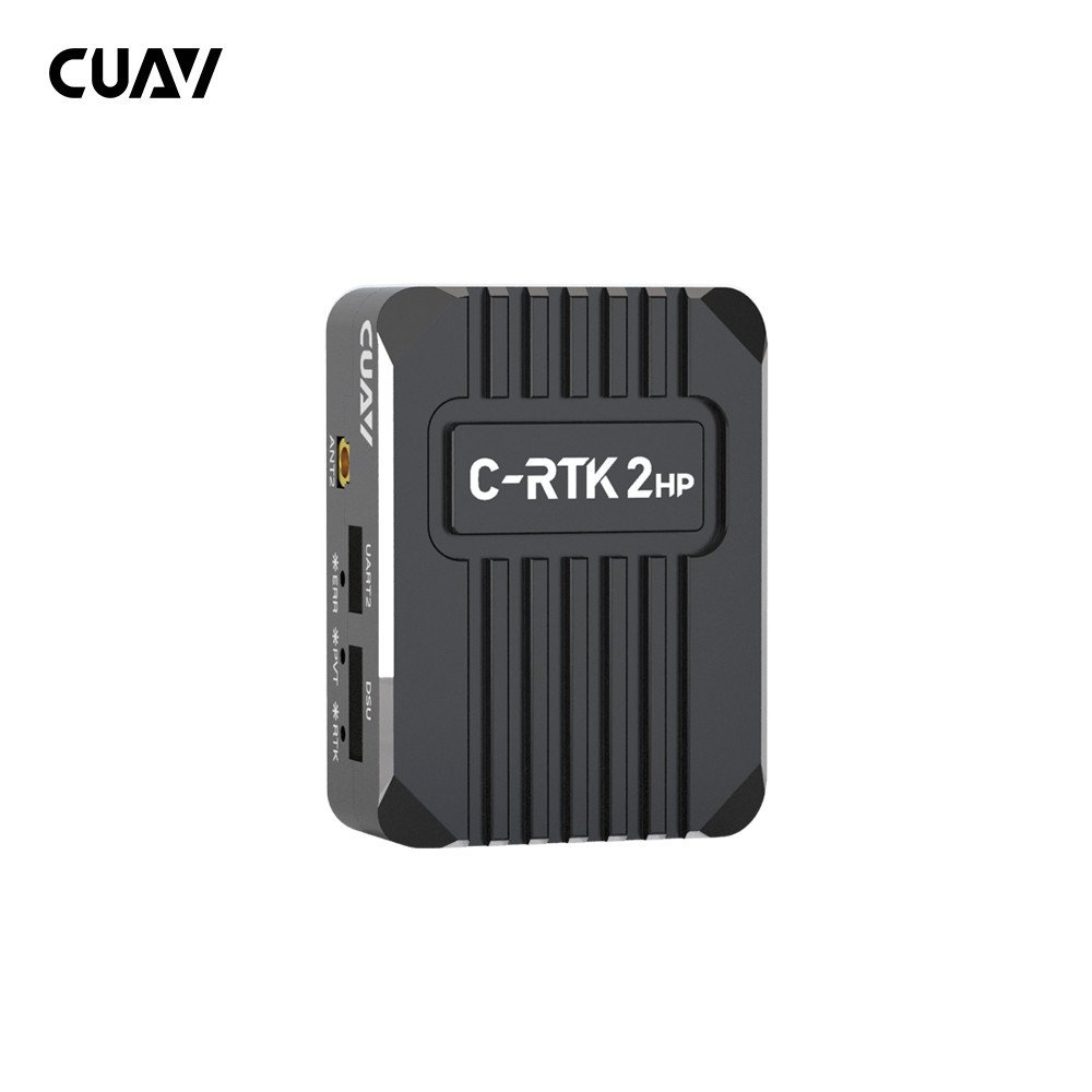

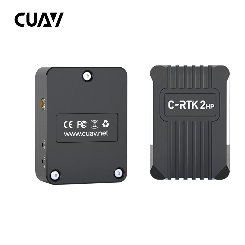
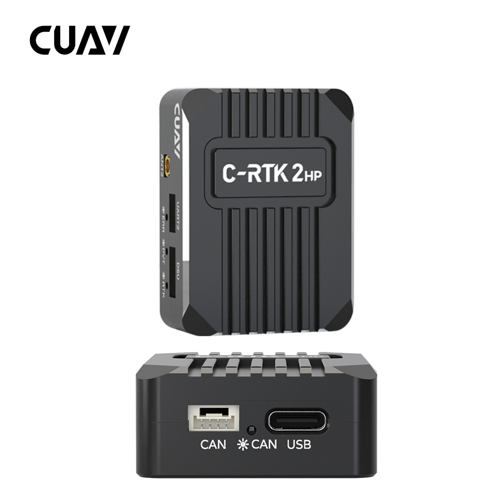
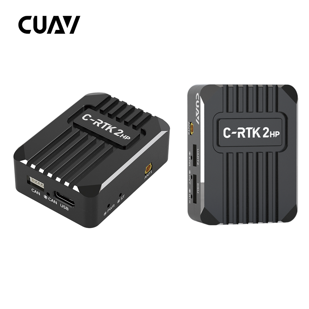




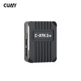
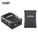
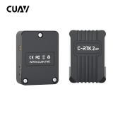
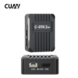

-Professional dual-antenna RTK GNSS module featuring 1,408 channels, 0.8 cm positioning accuracy.
-GNSS-based heading, RM3100 compass, DroneCAN/UART communication, and 20 Hz updates.
The CUAV C-RTK 2HP is a professional high-precision GNSS positioning and heading module designed for UAVs, fixed-wing aircraft, VTOL platforms, multirotors, autonomous vehicles, and robotic systems.
Featuring a high-performance 1,408-channel GNSS receiver, integrated dual-antenna heading technology, an industrial-grade RM3100 compass, and DroneCAN communication, the C-RTK 2HP delivers accurate positioning and reliable navigation for demanding autonomous applications.
Its compact design and flexible connectivity make it suitable for professional UAV integration, precision agriculture, mapping, surveying, inspection, and autonomous navigation.
The C-RTK 2HP provides high-precision positioning using Real-Time Kinematic technology.
When receiving valid correction data from a compatible RTK base station or correction service, the module can achieve:
Horizontal RTK Accuracy: 0.8 cm + 1 ppm
Vertical RTK Accuracy: 1.5 cm + 1 ppm
This level of precision supports professional UAV applications requiring accurate positioning, repeatable navigation, and precise autonomous operations.
One of the main advantages of the C-RTK 2HP is its integrated dual-antenna heading system.
Unlike conventional GNSS heading solutions requiring two separate positioning modules, the C-RTK 2HP determines heading using two antennas connected to a single receiver module.
This reduces installation complexity while providing reliable GNSS-based heading information.
Dual-antenna GNSS heading allows the aircraft to determine its orientation independently of a conventional magnetic compass.
This is particularly useful for UAVs operating near:
High-Current Electrical Systems
Electric Motors
Power Lines
Metal Structures
Industrial Equipment
Magnetically Disturbed Environments
The two antennas must be correctly positioned and configured to obtain reliable heading information.
The C-RTK 2HP features a high-performance GNSS system-on-chip with 1,408 satellite tracking channels.
Its advanced architecture supports simultaneous multi-constellation and multi-frequency satellite reception.
The system can track more than 50 satellites during RTK operation under suitable reception conditions, helping improve positioning reliability and satellite availability.
The C-RTK 2HP supports five major satellite navigation systems:
GPS
GLONASS
Galileo
BeiDou
QZSS
Multi-frequency reception helps improve positioning accuracy and reduce errors caused by atmospheric disturbances.
The module includes an industrial-grade RM3100 magnetometer.
The compass provides additional heading information and can serve as a redundant heading source when configured with a compatible autopilot.
This allows the system to combine high-precision GNSS heading with conventional magnetic heading for additional operational flexibility.
The C-RTK 2HP supports DroneCAN communication for reliable integration with compatible flight controllers.
DroneCAN provides robust digital communication and improved resistance to electromagnetic interference.
Its CAN-based architecture also simplifies wiring and allows multiple compatible peripherals to communicate over the same bus.
In addition to DroneCAN, the module supports UART communication.
This provides compatibility with flight controllers and autonomous systems that do not use a native DroneCAN interface.
The module also supports automatic switching between USB and UART communication.
The C-RTK 2HP supports navigation update rates of up to 20 Hz.
The default update rate is 5 Hz, providing stable positioning data for standard UAV operations.
Higher update rates can be configured for applications requiring more frequent navigation information.
The system is designed for rapid satellite acquisition and RTK initialization.
Cold-start positioning takes less than 30 seconds under suitable conditions.
The manufacturer specifies an initialization time of less than 5 seconds.
Actual positioning and RTK initialization performance depend on satellite visibility, correction data availability, antenna configuration, and environmental conditions.
The module integrates an STM32F4 microcontroller responsible for navigation data processing, communication, and system management.
The processor operates alongside the high-performance GNSS receiver to provide reliable positioning and heading information.
The C-RTK 2HP supports AP_Periph open-source firmware.
This provides flexibility for developers and UAV integrators requiring customized communication, peripheral integration, or specialized navigation functions.
The C-RTK 2HP provides multiple interfaces:
2× GNSS Antenna Interfaces
1× CAN Interface
1× UART Interface
1× DSU Interface
1× USB Interface
These connections support flexible integration into professional UAV and robotic platforms.
With dimensions of 50 × 37 × 17 mm and a weight of approximately 40 g, the C-RTK 2HP provides advanced positioning and heading capabilities in a compact format.
Its lightweight design makes it suitable for multirotors, fixed-wing aircraft, VTOL platforms, and autonomous vehicles where installation space and weight are important.
The C-RTK 2HP is designed for integration with compatible ArduPilot and PX4 flight controllers.
CUAV specifies support for ArduPilot 4.4.0 and later.
The module can communicate with compatible CUAV, Pixhawk, and other autopilot systems through DroneCAN or UART.
The CUAV C-RTK 2HP is suitable for:
Professional Multirotor UAVs
Fixed-Wing Aircraft
VTOL Platforms
Mapping and Surveying Drones
Precision Agriculture
Industrial Inspection UAVs
Power Line Inspection
Autonomous Ground Vehicles
Unmanned Surface Vehicles
Robotic Navigation Systems
Research and Development Platforms
Product: CUAV C-RTK 2HP Dual-Antenna RTK GNSS Module
Brand: CUAV
Application: UAVs, VTOL Aircraft, Fixed-Wing Drones, UGVs, USVs, and Autonomous Systems
Processor: STM32F4
GNSS Receiver: High-Precision GNSS SoC
GNSS Channels: 1,408
Electronic Compass: RM3100 Industrial-Grade Magnetometer
Supported GNSS: GPS / GLONASS / Galileo / BeiDou / QZSS
GNSS Reception: Multi-Constellation / Multi-Frequency
Primary Antenna — GPS: L1C/A / L2P / L2C / L5
Primary Antenna — GLONASS: L1 / L2
Primary Antenna — Galileo: E1 / E5a / E5b
Primary Antenna — BeiDou: B1I / B2I / B3I
Primary Antenna — QZSS: L1 / L2 / L5
Secondary Antenna — GPS: L1C/A / L2C
Secondary Antenna — GLONASS: L1 / L2
Secondary Antenna — Galileo: E1 / E5b
Secondary Antenna — BeiDou: B1I / B2I / B3I
Secondary Antenna — QZSS: L1 / L2
Standalone Horizontal Accuracy: 1.5 m
Standalone Vertical Accuracy: 2.5 m
DGPS Horizontal Accuracy: 0.4 m + 1 ppm
DGPS Vertical Accuracy: 0.8 m + 1 ppm
RTK Horizontal Accuracy: 0.8 cm + 1 ppm
RTK Vertical Accuracy: 1.5 cm + 1 ppm
Dual-Antenna Heading: Supported
GNSS Heading Configuration: Single Module / Dual Antenna
Satellite Tracking — Single Point: 28+
Satellite Tracking — RTK: 50+
Cold Start: <30 s
Initialization Time: <5 s
Default Navigation Update Rate: 5 Hz
Maximum Navigation Update Rate: 20 Hz
Differential Data Format: RTCM 3.x
Communication Protocols: DroneCAN / NMEA
Firmware: AP_Periph Open-Source Firmware
GNSS Antenna Interfaces: 2×
CAN Interface: 1×
UART Interface: 1×
DSU Interface: 1×
USB Interface: 1×
Operating Voltage: 4.7–5.2 V
Operating Temperature: -20°C to +85°C
Dimensions: 50 × 37 × 17 mm
Weight: 40 g
Firmware Compatibility: ArduPilot 4.4.0+ / Compatible PX4 Configurations
Flight Controller Compatibility: CUAV / Pixhawk / Compatible Autopilot Systems
1× CUAV C-RTK 2HP GNSS Module
Depending on the selected package, compatible GNSS antennas, antenna feeder cables, USB cable, CAN cable, and UART cable may also be supplied.
Centimeter-level positioning requires valid RTK correction data from a compatible base station or correction service.
GNSS-based heading requires two compatible antennas, correctly installed and configured. CUAV recommends spacing them more than 30 cm apart.
Flight controller, RTK base station, telemetry radio, and other UAV components are not included unless specified in the selected package.
-Professional dual-antenna RTK GNSS module featuring 1,408 channels, 0.8 cm positioning accuracy.
-GNSS-based heading, RM3100 compass, DroneCAN/UART communication, and 20 Hz updates.